
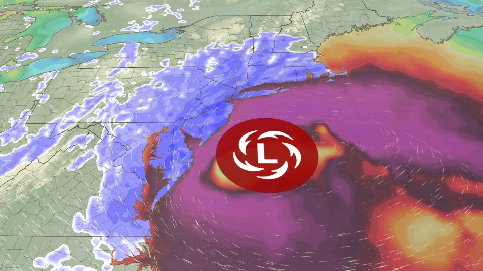
According to meteorologist Chris Dolce, a major winter storm is preparing to impact millions of people across the northeastern United States. This powerful nor’easter is expected to bring heavy snowfall, strong winds, and dangerous travel conditions from the Mid-Atlantic to New England.
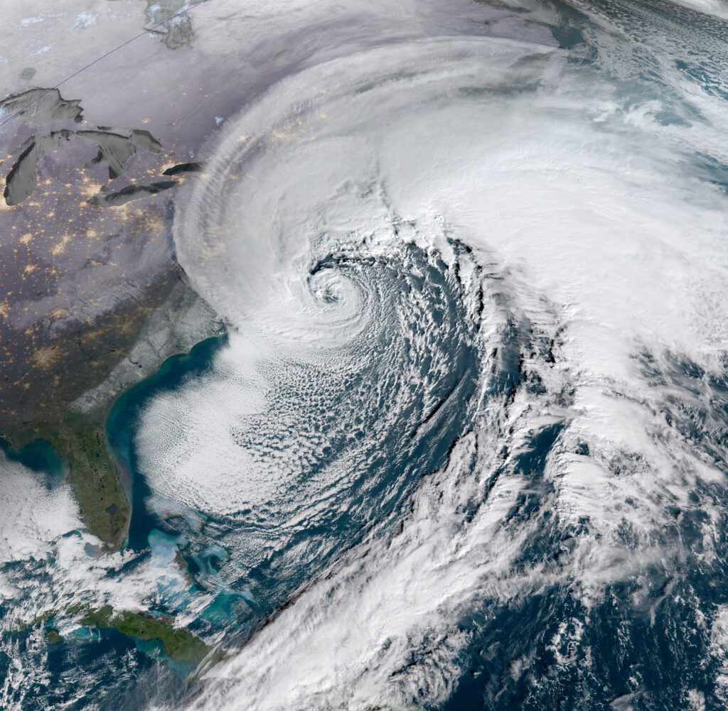
Cities such as New York City, Boston, and Philadelphia are likely to see the strongest effects as the storm rapidly intensifies into what meteorologists call a bomb cyclone along the Eastern Seaboard.
Storm Preparations Underway Across Major Cities
Local officials are already preparing for the impact. New York Governor Kathy Hochul has urged residents to stay alert and sign up for emergency notifications. Meanwhile, in Washington, DC, Mayor Muriel Bowser announced that snow teams and plows will be deployed ahead of the storm.
Blizzard warnings now extend from Delaware and New Jersey through coastal areas of southern New England. This is the first blizzard warning issued for New York City since 2017, showing how serious this system has become.
The National Oceanic and Atmospheric Administration has also indicated that the storm could create major regional disruptions, including road closures and flight delays.
Expected Snowfall and Wind Impact
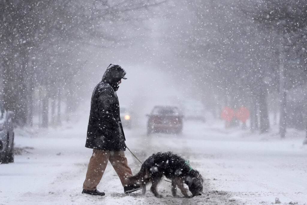
Forecasters predict that heavy, wet snow could accumulate quickly, especially in urban corridors. Snowfall rates may reach one inch per hour at peak intensity. Winds could gust above 40 mph, increasing the risk of fallen tree branches and scattered power outages.
This type of snow is particularly dangerous because it sticks easily to power lines and trees. Coastal areas, including Long Island, may also experience moderate flooding due to strong onshore winds.
Below is a quick comparison of expected snowfall in major cities:
| City | Expected Snowfall | Wind Risk | Travel Impact |
|---|---|---|---|
| New York City | 10–14 inches | High | Severe delays |
| Boston | 8–12 inches | High | Major disruptions |
| Philadelphia | 8–12 inches | Moderate to High | Dangerous roads |
| Baltimore | 3–6 inches | Moderate | Slippery conditions |
Timing of the Nor’easter’s Strongest Conditions
Snow will begin developing during the day Sunday and intensify overnight as colder air moves in. The most dangerous conditions are expected late Sunday night through Monday morning, when visibility may drop sharply due to blowing snow.
Travel during the Monday commute could become extremely difficult or even impossible in some areas. Major airport delays are also likely across the region.
In Central Park, snowfall totals may exceed one foot, which would make it the city’s first storm of this magnitude in over five years.
What Residents Should Do Now
Residents across the Northeast should prepare early by limiting unnecessary travel, charging devices, and checking emergency supplies. Heavy snow and strong winds can quickly change local conditions.
For more updates, readers can explore our winter weather updates section and storm preparedness guides to stay informed as the situation develops.